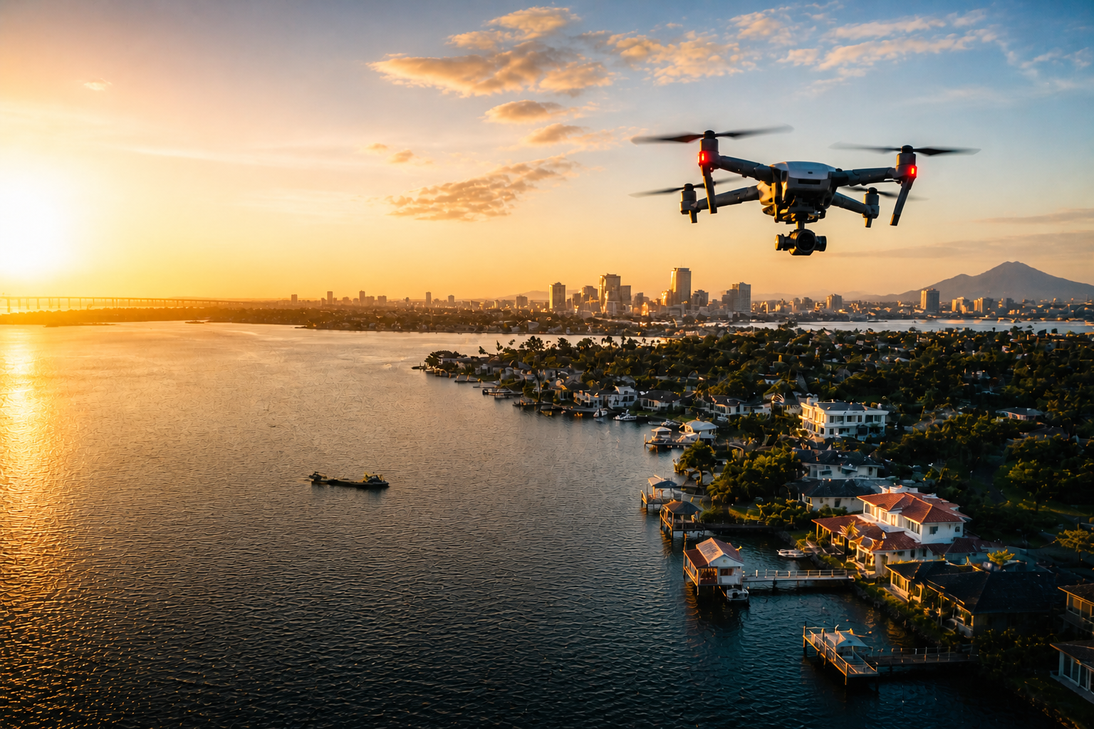
Your brand, property, or event deserves more than standard photos and ground-level video. Aurevo’s Aerial Marketing services create cinematic, high-quality drone visuals designed to help you stand out, tell your story, and drive engagement.
Whether you are selling a property, promoting a business, highlighting a venue, or capturing a live event, we provide polished aerial content that brings your vision to life from a perspective people remember.
Ideal for:
Residential real estate listing
commercial real estate
local businesses
venues
tourism and hospitality
events and festivals
social media campaigns
Deliverables may include:
cinematic drone footage
edited promotional videos
social media cuts
aerial photography
branded content packages
highlight reels
Track your project with confidence.
Aurevo’s Progress & Documentation services provide consistent aerial visibility for projects that evolve over time. From groundbreaking to completion, we help you capture milestones, monitor progress, and maintain a visual record of your work.
This service is built for organizations that need reliable documentation for reporting, stakeholder updates, marketing, or internal project management.
Whether you need one-time documentation or recurring scheduled site visits, our process creates a professional visual timeline of your project’s growth.
Ideal for:
Construction progress documentation
developers
contractors
nonprofit community projects
infrastructure projects
public works initiatives
capital improvement projects
Deliverables may include:
progress photos
milestone video updates
recurring site visits
timeline documentation
stakeholder update visuals
before-and-after comparisons
Smarter site intelligence. Safer decisions.
Aurevo’s Inspection & Mapping services provide detailed aerial data collection to support safer, faster, and more informed decision-making.
From roof inspections to land analysis and site mapping, drone technology allows you to access critical visual information without unnecessary risk, delays, or expensive traditional methods.
Our inspection and mapping solutions help property owners, contractors, and project teams assess conditions, identify issues, and gather actionable site intelligence with precision.
Ideal for:
Roof inspection
insurance documentation
landowners
developers
construction teams
engineers
property managers
Deliverables may include:
inspection imagery
high-resolution aerial photos
site mapping
orthomosaic maps
progress overlays
condition documentation
• Fast turnaround available • Raw footage available upon request• Custom commercial packages available• Serving residential and commercial clients

